Wondering why two homes in Centerport can feel worlds apart even when they share the same hamlet name? That is one of the most important things to understand if you are buying or selling here. Centerport is not one uniform market, and once you see how water access, hills, historic roads, and convenience shape each pocket, you can evaluate value more clearly. Let’s dive in.
Why Centerport Feels So Varied
Centerport is an unincorporated hamlet in the Town of Huntington on Long Island’s North Shore. In practical terms, that means your experience of the area is shaped less by formal village borders and more by where a home sits in relation to the harbor, major roads, slopes, and small daily-use destinations.
That is why one street may feel closely tied to boating and shoreline access, while another feels more inland, historic, and residential. For buyers, that affects lifestyle and carrying considerations. For sellers, it affects how your property should be positioned in the market.
Harbor Pockets Near the Water
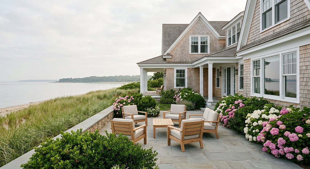
Some of Centerport’s clearest residential enclaves are the harbor-adjacent pockets. These areas often stand out because of their connection to the waterfront, boating, beach access, and the everyday rhythms that come with living near the harbor.
A well-known example is the Huntington Beach Community Association area. The association describes a beachfront community with amenities that include a beach club, marina, event space, kayak and dinghy launch and storage, and summer recreation. That makes this pocket especially distinct from more inland parts of Centerport.
The Town of Huntington’s Centerport Harbor stormwater work also references areas around Mill Dam Road, Fleets Cove Road, Cove Road, Bayview Drive, Adams Street, Beach Place, and Keith Court. For buyers and sellers, that matters because location value here is often tied not just to proximity to water, but also to practical issues like drainage and site conditions.
What drives value near the harbor
In shoreline pockets, a few factors tend to matter most:
- Water access
- Association membership or related amenities
- Proximity to beach areas
- Drainage and flood-related considerations
- The balance between lifestyle appeal and property-specific site conditions
If you are comparing listings in these areas, it helps to look beyond square footage alone. A home’s position within a harbor-side pocket can change how buyers perceive its value, convenience, and long-term appeal.
Little Neck Road and the Hillside Corridor
Another distinct part of Centerport is the Little Neck Road corridor, including areas influenced by Centerport Beach, Fleets Cove Beach, and the Vanderbilt Museum and Planetarium. This section of the hamlet often feels shaped by elevation, views, and notable landmarks.
The Town of Huntington describes the adjoining woodland at Centerport Park and Beach as sloped, with some hills across about 30 acres. That topography helps explain why some homes in this area feel more elevated and view-oriented than buyers might expect in a relatively small North Shore hamlet.
The Vanderbilt Museum at 180 Little Neck Road also gives this corridor a recognizable anchor. Suffolk County notes that the museum is listed on the National Register and has seen recent drainage and facade improvements. In real estate terms, this corridor shows how scenery, road pattern, and local landmarks can influence the character of nearby streets.
Why elevation changes the feel
Elevation can shape a home search in several ways:
- Some properties may offer a stronger sense of outlook or visual openness
- Sloped lots may differ from flatter inland parcels in layout and use
- Drainage conditions can vary from one street or lot to another
- Street character may feel more winding, layered, or scenic
For sellers in this corridor, those features often need careful presentation. For buyers, they are worth evaluating with a close eye on both lifestyle fit and property logistics.
The Historic Inland Core
If you move away from the harbor, Centerport’s inland core tells a different story. One of the clearest reference points is the Suydam Homestead at One Fort Salonga Road, located at the crossroads of Route 25A and Centerport Road.
The Town of Huntington identifies the Suydam Homestead as a circa 1730 vernacular farmhouse and notes the area’s history as sparsely populated by seafaring people and farmers. That history gives this part of Centerport a stronger connection to older, land-based residential fabric than the shoreline pockets.
This distinction matters because buyers often assume a small hamlet will present a fairly consistent housing pattern. In Centerport, that is not the case. The inland historic core can feel more rooted in traditional roadways, older lot patterns, and a different sense of neighborhood texture.
How housing stock can differ
Centerport’s homes do not all follow one style or scale. Across the hamlet, housing can vary by:
- Age of the home
- Lot width and depth
- Renovation or expansion history
- Position relative to shoreline roads or inland routes
- Architectural style and original footprint
That is one reason two similarly priced properties may offer very different tradeoffs. One may reflect an older layout on a tighter pattern, while another may offer a larger lot or a more extensively updated structure.
Daily Convenience in Centerport
Centerport is primarily residential, and its retail footprint is modest. Suffolk County’s 2025 retail inventory identifies a downtown node at Mill Dam Road and Little Neck Road, while larger nearby retail clusters are found in Huntington, Northport, East Northport, and Huntington Station.
For you as a buyer, that means some streets may feel tucked away and highly residential, while others sit closer to the hamlet’s limited convenience strip. Neither is automatically better. It depends on whether you want a more secluded feel or easier access to small day-to-day stops.
For sellers, this can influence how buyers experience your location. In Centerport, convenience is often measured less by being in a commercial center and more by how easily a home connects to nearby destinations beyond the hamlet itself.
Transit and Commuting Options
Commuting patterns are another part of Centerport’s geography. The relevant Long Island Rail Road Port Jefferson Branch stations for many Centerport residents are Huntington, Greenlawn, and Northport, with the MTA noting that Northport Station is located in East Northport.
That creates a practical station triangle for many buyers to consider. Depending on the street, one station may be more convenient than another, so commute planning in Centerport is often more nuanced than a quick map glance suggests.
Huntington Area Rapid Transit also adds flexibility. The H6 route connects Huntington and Cold Spring Harbor with Centerport, Greenlawn, East Northport, and Elwood, giving residents another transportation option even when a particular property is not especially close to rail.
Questions to ask about convenience
When comparing homes in Centerport, it helps to ask:
- Which rail station is most practical from this address?
- How direct is the route to daily errands?
- Is the property closer to Mill Dam Road and Little Neck Road services?
- Does the location feel more harbor-oriented, inland, or transit-oriented?
These details may seem small at first, but they can strongly shape your daily experience.
Flood, Drainage, and Sewer Context
In Centerport, location differences are not just about atmosphere. They can also affect property conditions and due diligence. Suffolk County’s flood-hazard mapping includes Centerport among county floodplain areas, and county advisories note that Centerport Harbor and Northport Harbor can be affected after heavy rain.
The Town of Huntington also has ongoing Centerport Harbor stormwater mitigation projects. That makes flood exposure, drainage, and runoff important considerations, especially for waterfront or near-water parcels.
County sewer mapping shows both the Town of Huntington Sewer District and Centerport Sewer District within the town’s sewered-area inventory. For buyers, that means sewer-district placement can be one more variable to verify when evaluating a specific property.
Why this matters in real terms
These are not minor details. They can influence:
- Property use and maintenance expectations
- Insurance-related questions
- Site planning and drainage performance
- How one lot compares with another on the same general street network
This is where hyperlocal analysis becomes especially valuable. Two homes may share a Centerport address, but their practical ownership profile can differ in meaningful ways.
How to Think About Centerport Enclaves
The clearest way to understand Centerport is to think of it as a collection of small residential pockets rather than one uniform market. Harbor-side association streets often draw attention for access and waterfront lifestyle. The Little Neck Road corridor often stands out for elevation, views, and landmark proximity.
The Route 25A and Centerport Road area carries the strongest historic inland reference. Meanwhile, the Mill Dam Road and Little Neck Road node, plus the nearby rail and bus options, shape how easy day-to-day living feels from one part of the hamlet to another.
If you are buying, this framework helps you compare homes more intelligently. If you are selling, it helps define what makes your property distinct and how it should be positioned for the right audience.
Centerport rewards a careful, street-by-street approach. When you understand how water, topography, history, and convenience intersect, you can make sharper decisions and move with more confidence.
If you are considering a move in Centerport and want a more tailored read on how a specific property fits into the hamlet’s micro-markets, Scott Van Son can help you evaluate the details with a local, data-driven perspective.
FAQs
What makes Centerport different from a uniform housing market?
- Centerport is best understood as a set of smaller residential pockets shaped by water access, elevation, historic roads, and convenience rather than one consistent housing pattern.
What defines the harbor-side areas in Centerport?
- Harbor-side pockets are often associated with waterfront access, beach or boating lifestyle, association-related amenities in some areas, and added attention to drainage or flood-related conditions.
What is notable about Little Neck Road in Centerport?
- Little Neck Road stands out for its proximity to Centerport Beach, Fleets Cove Beach, and the Vanderbilt Museum, along with sloped topography that can create a more elevated and view-oriented feel.
What is the historic inland core of Centerport?
- The inland core is most clearly anchored by the area around Route 25A and Centerport Road, where the Suydam Homestead reflects Centerport’s older land-based residential history.
What should buyers compare when looking at Centerport homes?
- Buyers should compare water proximity, lot topography, housing age and renovation history, convenience to Mill Dam Road and Little Neck Road, access to rail stations, and flood or sewer-related property factors.
What transportation options serve Centerport residents?
- Many residents use the Huntington, Greenlawn, or Northport stations on the Port Jefferson Branch, and the HART H6 bus route also connects Centerport with several nearby communities.
Why do flood and drainage matter in Centerport?
- Floodplain mapping, enclosed harbor conditions after heavy rain, and ongoing stormwater work all suggest that near-water and low-lying properties may require closer review of drainage and site-specific conditions.
Is Centerport convenient for everyday errands?
- Centerport has a modest retail node at Mill Dam Road and Little Neck Road, while many larger shopping and service destinations are found in nearby communities such as Huntington, Northport, East Northport, and Huntington Station.